01
Wildlife & deer
Thermal observation and surveys to support wildlife monitoring and deer management.
Serving Leicestershire and the Midlands.
Aerial thermal imaging and visual inspections for estates, landowners and rural businesses.
Discuss your project ↗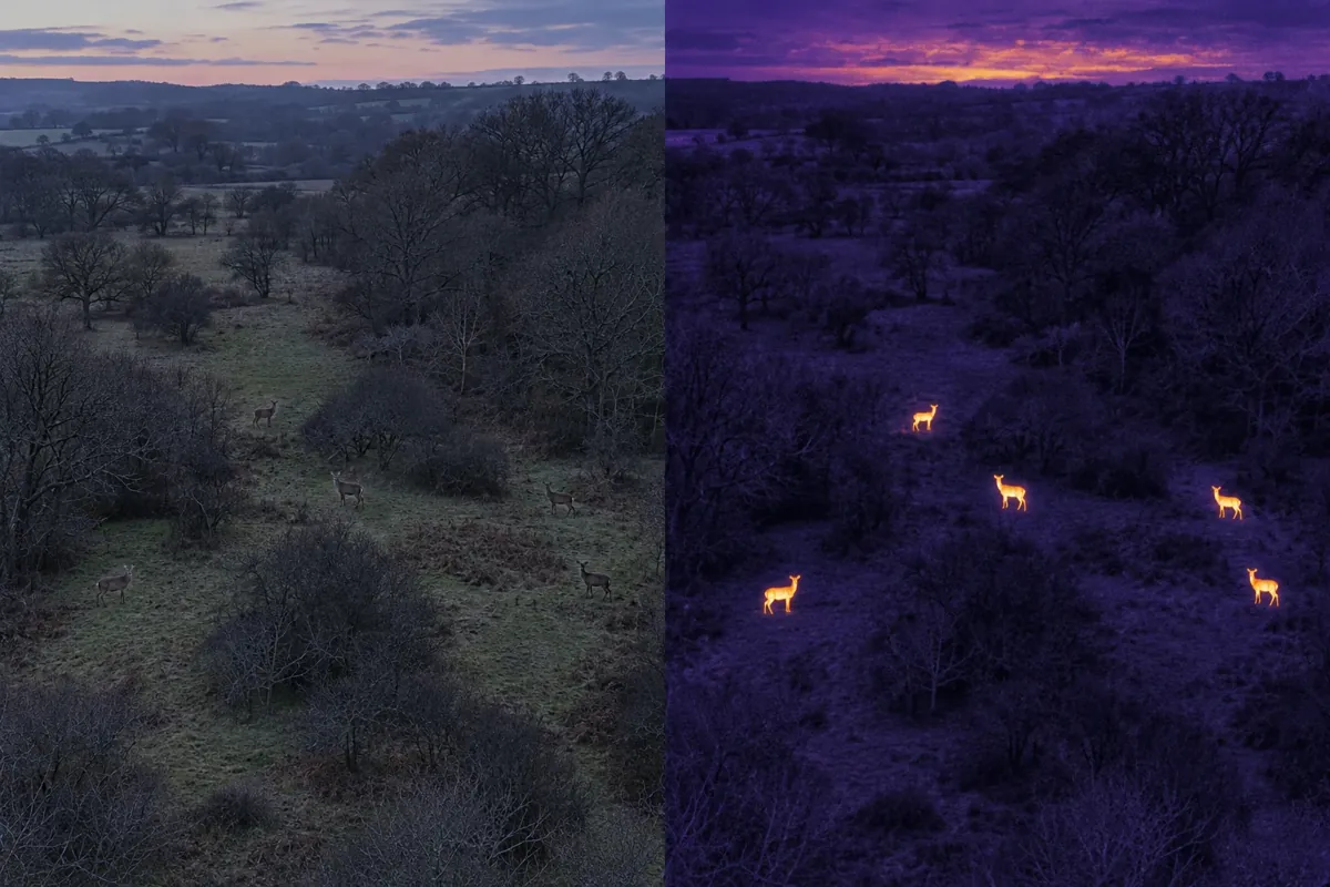
Thermal observation and surveys to support wildlife monitoring and deer management.
Explore heat loss, thermal bridging and possible moisture-related anomalies, alongside visual roof imagery.
Thermal inspections of solar panels, plus visual imagery of infrastructure such as water-treatment sites. Scope and access agreed for each project.
Aerial photographs show solar and infrastructure settings; labelled AI illustrations explain thermal inspection concepts.
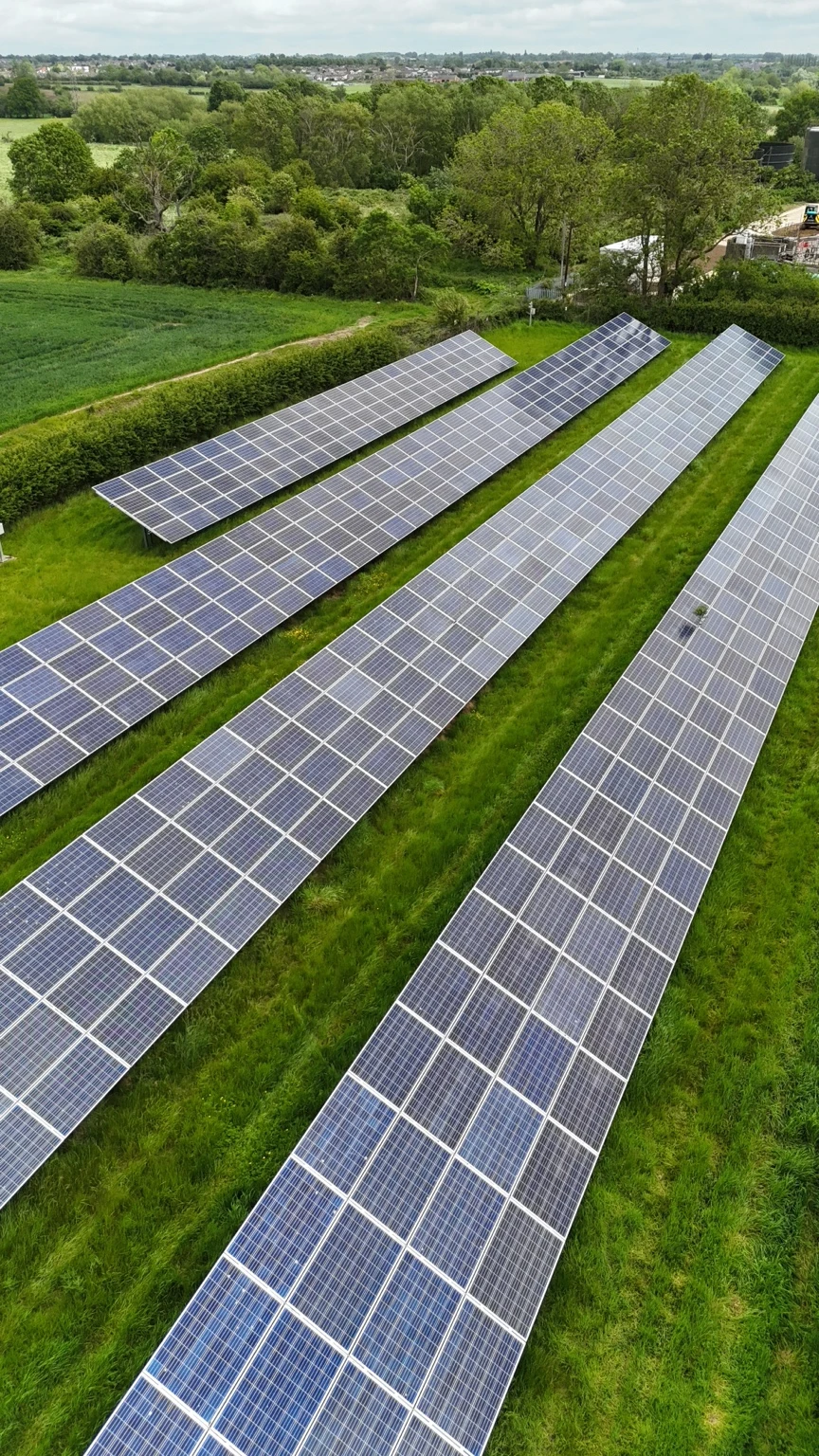
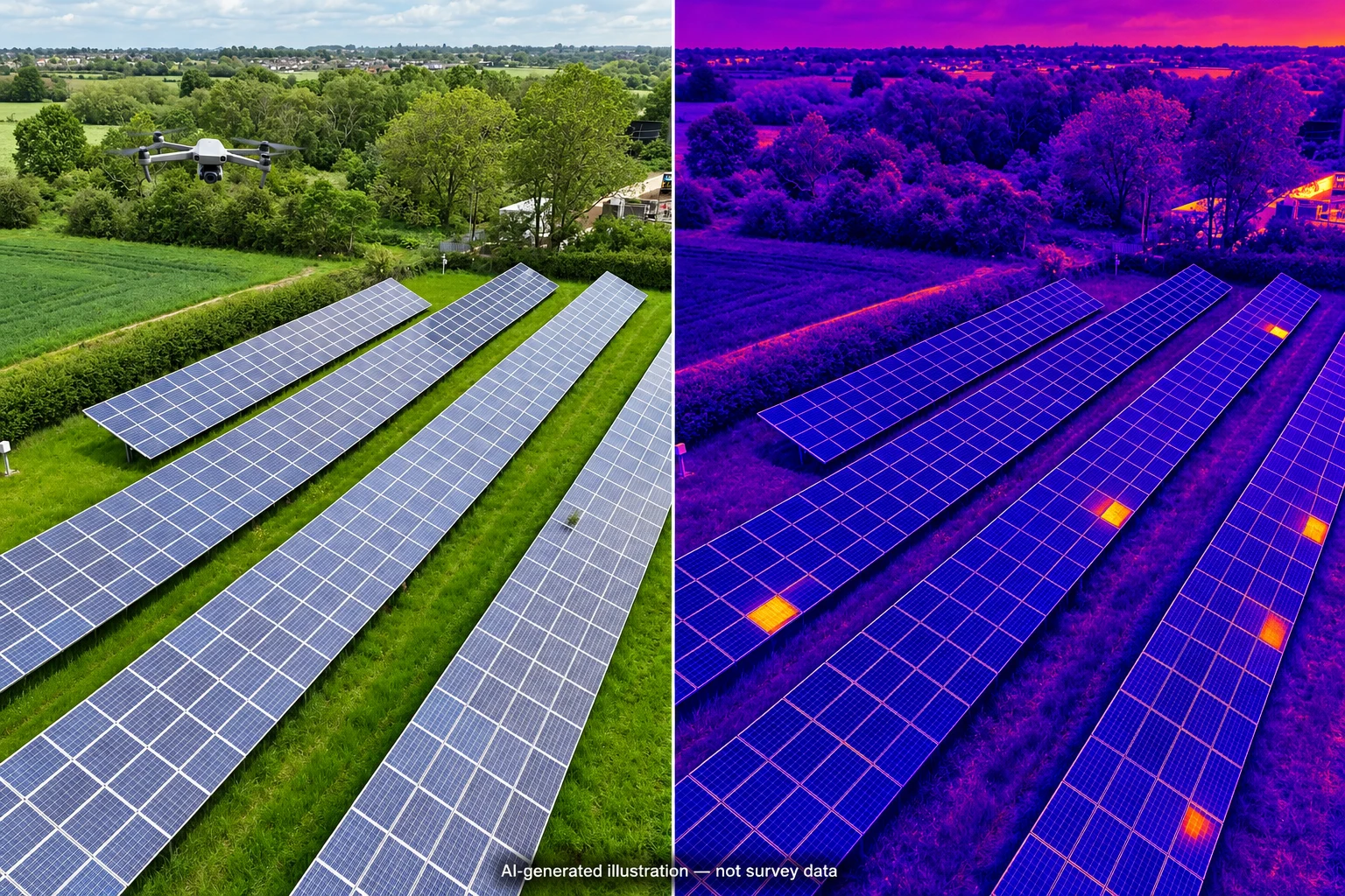
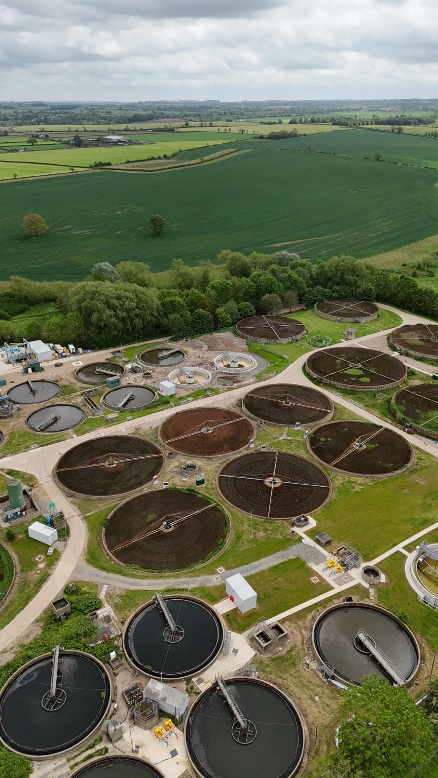
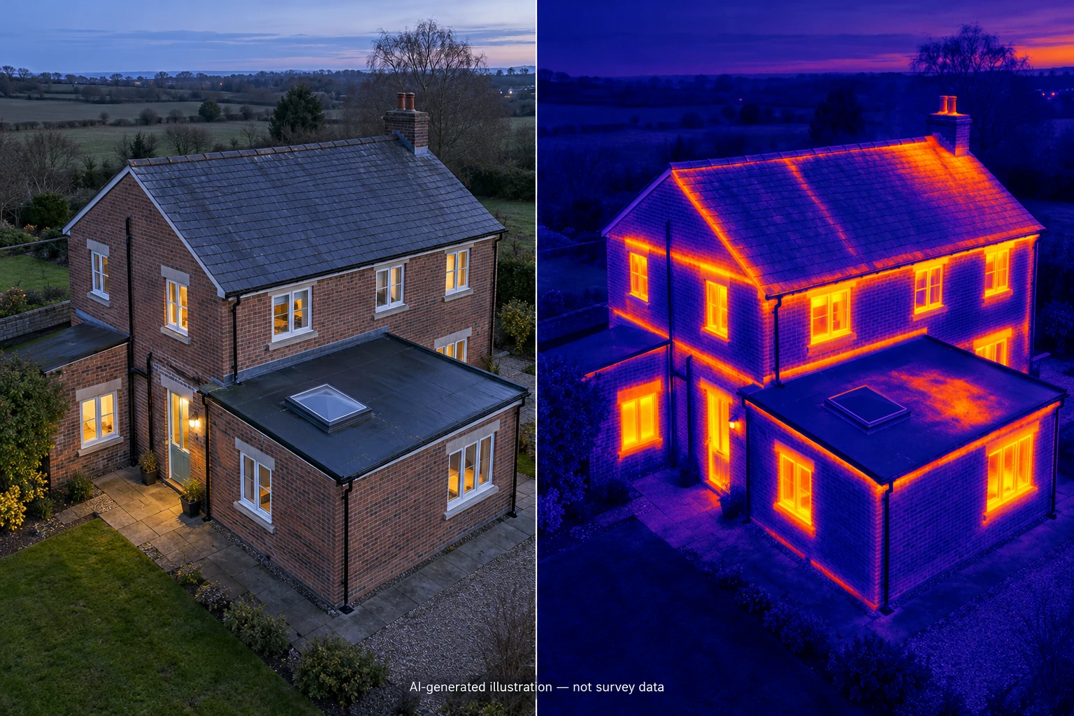
Original visible-light footage, shown alongside the thermal concepts above. Discuss your site and the information you need for wildlife or deer management.
Discuss wildlife surveying ↗Tell me what you need, where it is and when you have in mind.