01
Crop surveys
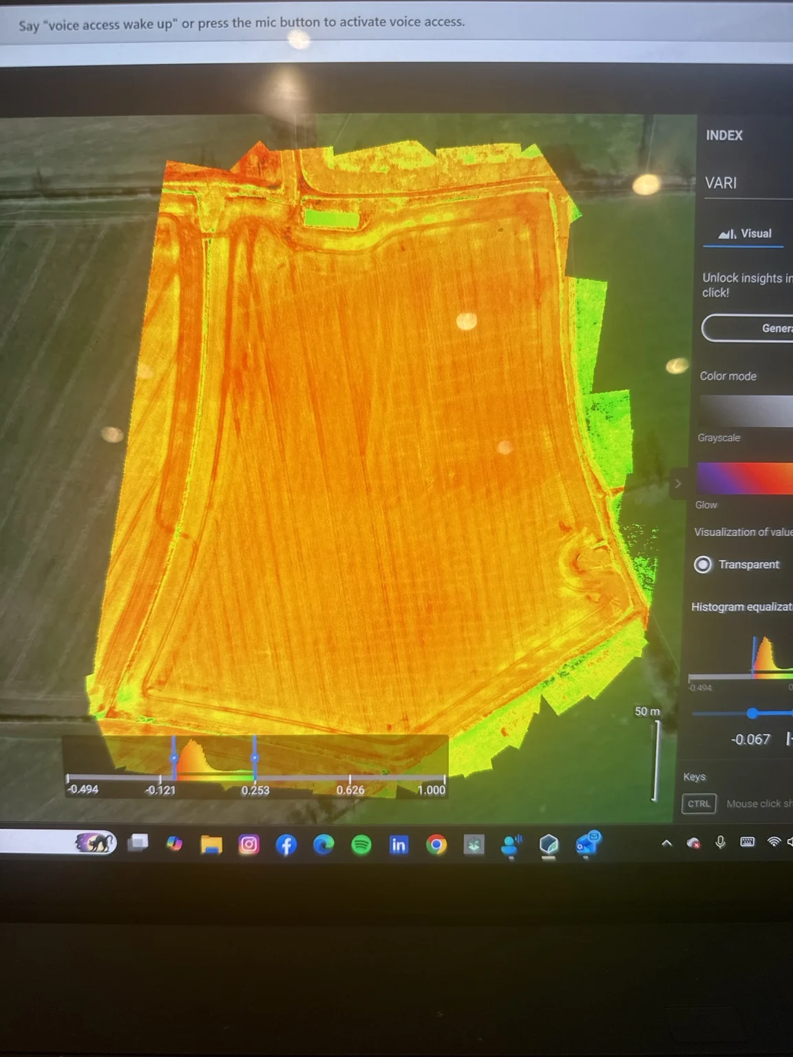
Multispectral surveying and crop analysis to help identify variation across your field.

Serving Leicestershire and the Midlands.
Crop mapping and specialist vineyard applications, shaped around your growing conditions.
Discuss your project ↗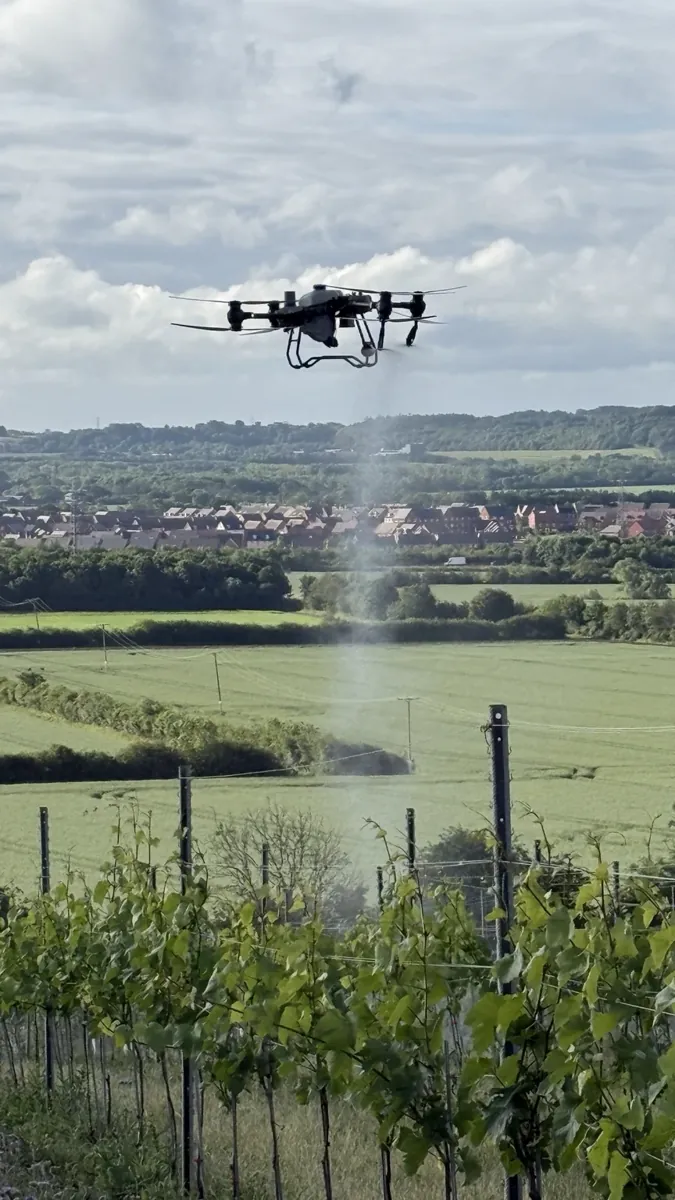
Multispectral surveying and crop analysis to help identify variation across your field.
Mapping to inform crop management and suitable variable-rate applications.
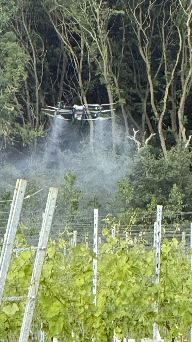
Foliar feeding and suitable biostimulants, including applications within frost-management programmes.
Tap a photograph to browse the gallery, then use Previous, Next or Close to return to the page.
See the equipment and approach in action, then tell me about your own project.
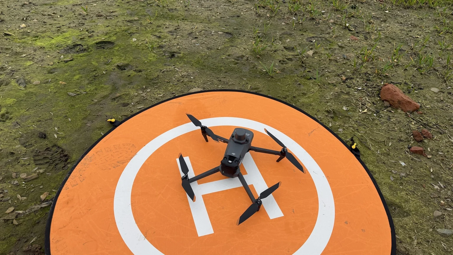
Ask about a similar job ↗Our DJI Agras T50 and Mavic 3 Multispectral use RTK satellite corrections to support precise positioning and repeatable flight paths. For crop surveys, the required map outputs and accuracy are agreed before collection; positioning precision alone does not establish the accuracy of a finished map.
We work closely with the landowner, farm or site operator, and their agronomist where involved, to plan each agricultural application around the land, crop and intended outcome.
We agree suitable products, application rates and timing before work begins, drawing on the farm’s knowledge and agronomic advice. Where appropriate, follow-up surveys and field observations help us review the response and plan the next step.
We welcome enquiries from golf clubs, course managers and greenkeeping teams across Leicestershire and the Midlands for multispectral turf surveys, suitable granular fertiliser spreading and foliar feed applications.
Working with your course manager and turf agronomist, we assess the product, application rate, coverage and site access before agreeing the work. Fairways, rough and awkward-access areas may offer opportunities to apply nutrition without machinery travelling over the treated turf.
Multispectral mapping highlights variations in vegetation condition to guide ground checks and maintenance priorities. Application suitability and spread uniformity must be assessed for each surface, particularly fine turf. Work is scheduled around players, staff, public access and operating requirements.
Discuss your golf course ↗JP Rural Services welcomes enquiries from farmers, landowners, agronomists, researchers and product developers planning agricultural trials. We can discuss suitable fertiliser, foliar nutrition and seeding applications, baseline and repeat multispectral surveys, and aerial photography to document changes.
We work to the protocol agreed with your trial lead and agronomist, including treatment areas, comparison plots, rates, timing and application records. Maps and observations can support the wider assessment of crop performance alongside ground measurements and laboratory analysis.
Whether your project is privately financed or grant-supported, contact us early to discuss feasibility, quotations and the drone services needed in your project budget.
Discuss a trial or demonstration ↗JP Rural Services welcomes enquiries from horticultural growers for suitable trace element, biostimulant and foliar feed applications, particularly where crop growth, ground conditions or field layout make conventional machinery access difficult.
In late summer 2026, James applied foliar feeds, trace elements and seaweed fertiliser to an established pumpkin crop near Sherwood Forest in north Nottinghamshire. At this stage, driving conventional spraying machinery through the crop risked damaging the spreading vines and developing pumpkins.
The drone allowed the application to be made from above, without driving through the crop. This is the sort of access challenge we can help growers assess for pumpkins and other specialist crops.
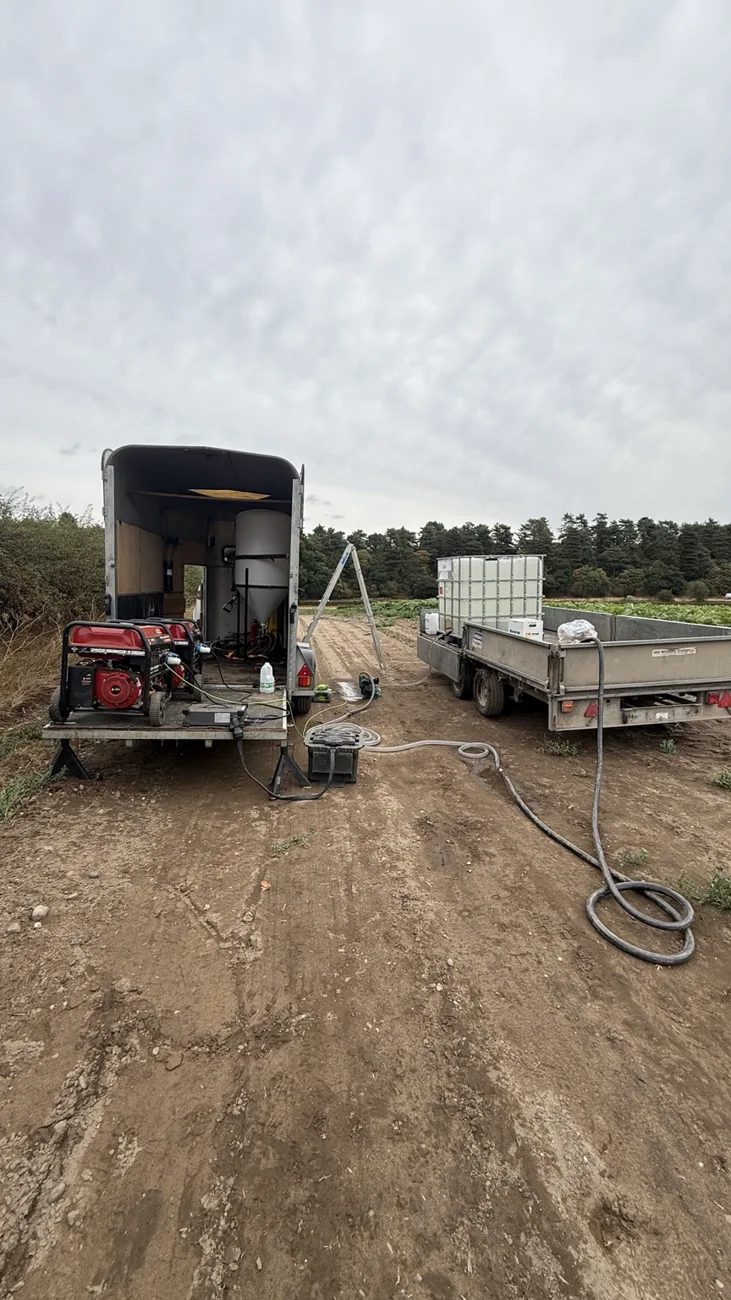
We work with the grower, site operator and agronomist to confirm the product, dose, water volume, crop stage and coverage requirements. Each product and site is assessed for drone suitability before work is agreed.
When daytime heat limits suitable application windows, early starts, evening work and planned night operations may provide greater flexibility. Timing remains subject to product instructions, crop and weather conditions, and SAS Land Services’ operational requirements. Explore our approach to working beyond daylight ↗
RGB and multispectral surveys can help identify variation for closer field inspection and support repeat monitoring. Agricultural application work is undertaken through SAS Land Services under its Operational Authorisation and its applicable conditions.
Discuss your horticultural crop ↗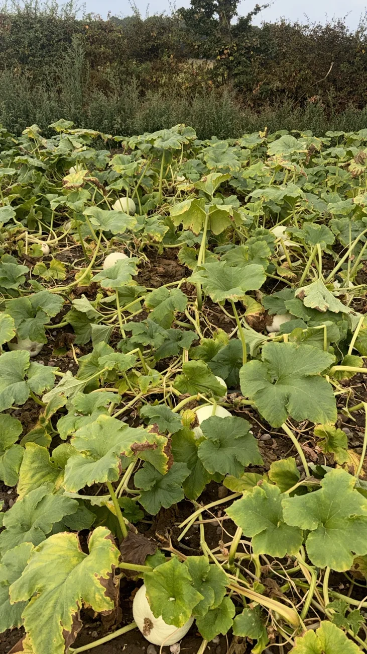
Tell me what you need, where it is and when you have in mind.